
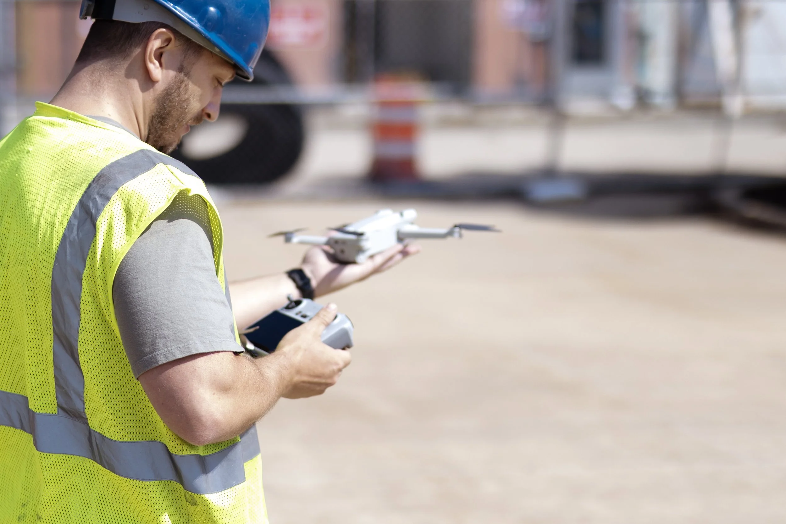
Data. Imagery. Insights. Delivered by Drone.
Professional Drone Services in Springfield IL and Central Illinois
Sangamon Drone Solutions provides professional drone services in Springfield, IL and across Central Illinois. We specialize in aerial photography, drone video, construction progress tracking, commercial real estate imaging, and advanced drone mapping. Our mission is to help businesses save time, reduce costs, and improve safety with high-quality aerial data. Fully FAA Part 107 certified and insured, we work with construction firms, real estate professionals, property managers, agricultural clients, and local governments. If you’re looking for reliable Springfield, IL drone services, aerial mapping, or drone inspections, contact us today.
Our Services
-
High-quality aerial photos and video to capture unique perspectives of properties, businesses, and landscapes. Professional editing and delivery tailored for web, social media, and marketing needs.
-
Showcase residential and commercial properties with dynamic aerial imagery. Highlight location, lot size, and property features to help listings stand out in a competitive market.
-
Document and track construction projects from the air. Provide builders, contractors, and stakeholders with consistent progress updates and site overviews for reporting and marketing.
-
Create eye-catching aerial visuals to elevate brand storytelling. Perfect for promotional videos, social media, websites, and advertising campaigns for businesses of all sizes.
-
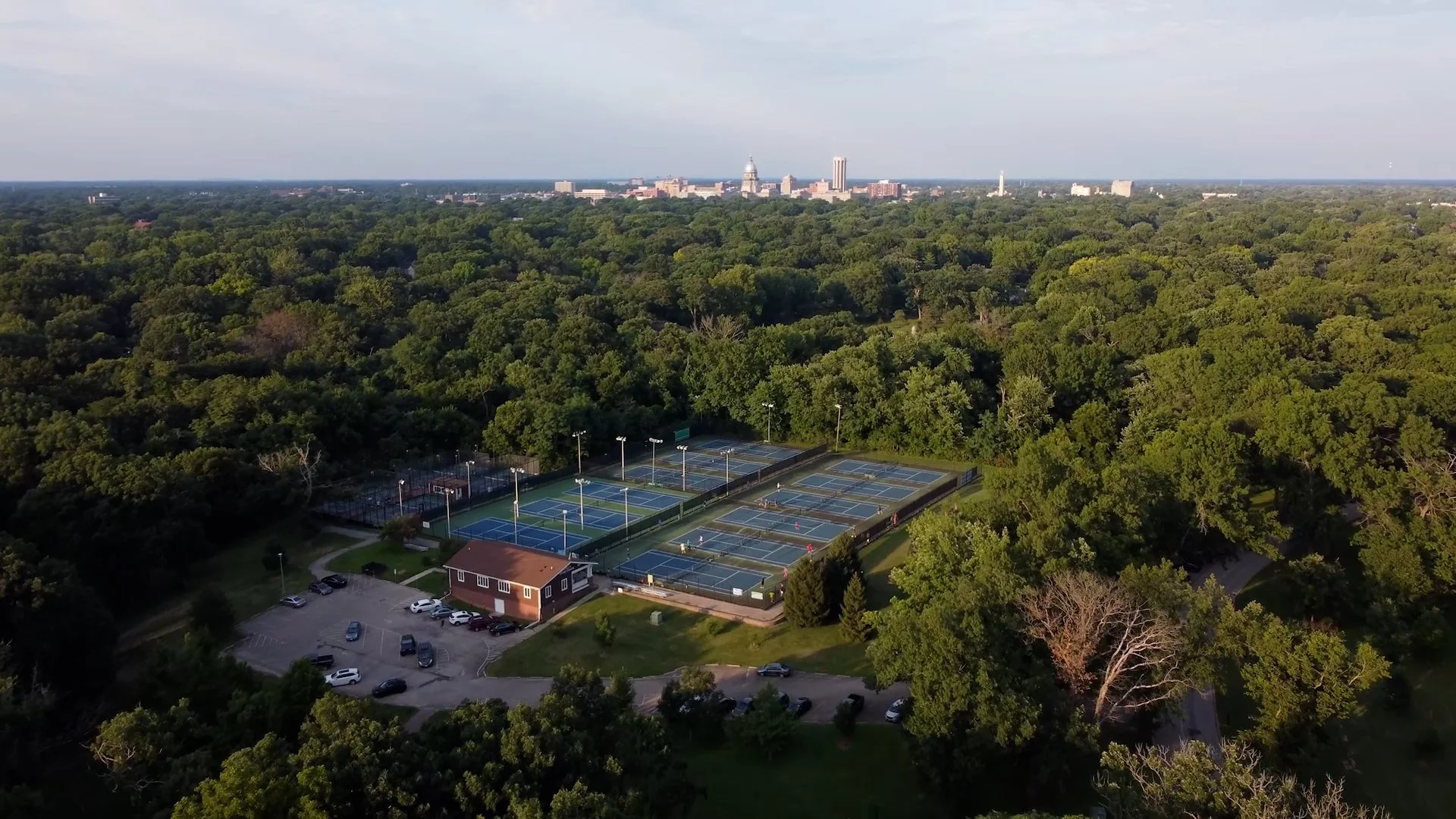
Capture the beauty of local landmarks, parks, events, and natural areas. Aerial content for tourism boards, municipalities, community organizations, and public relations.
How Our Drone Services Help Your Business
We Fly → We Process → You Get Results
-
Aerial imaging accelerates the data collection process, eliminating the need for manual site visits and inspections. Projects that once took days can now be completed in hours — helping you move faster and meet deadlines.
-
Drone-based imaging minimizes labor, equipment, and travel expenses. Capture detailed visuals without the need for scaffolding, lifts, or repeated site visits — keeping budgets under control while delivering high-quality results.
-
Conduct inspections and progress monitoring without putting personnel in hazardous environments. Drones provide detailed imagery of rooftops, structures, and hard-to-reach areas — reducing risk and increasing job site safety.
-
Accurate, high-resolution aerial data supports smarter planning, marketing, and reporting. Whether you’re managing a construction project, selling a property, or promoting a brand, the right visuals give you the insights to make informed, confident decisions.
Advance Services
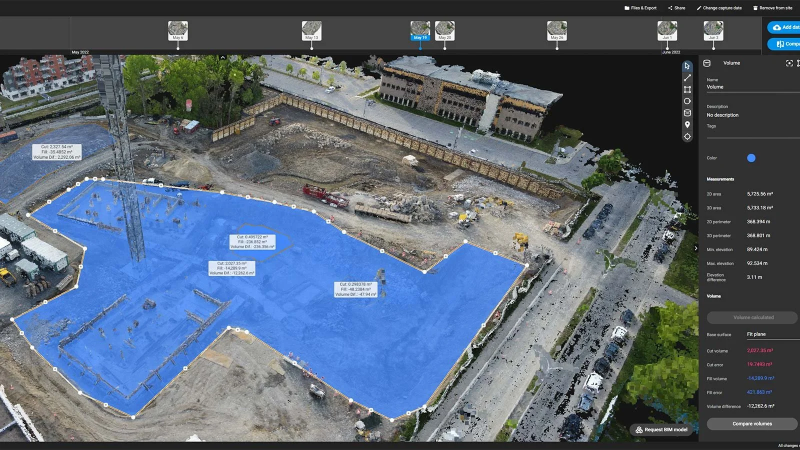
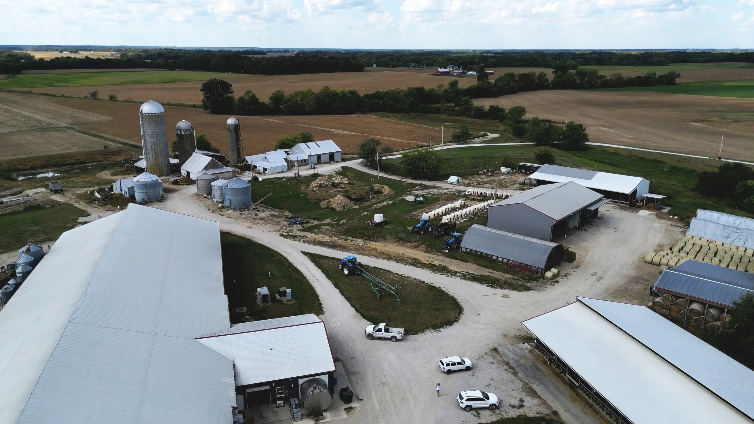
Construction Mapping & 3D Modeling
Generate accurate site maps, 3D models, and orthomosaic images to support planning, documentation, and stakeholder reporting. Our drone mapping services give construction teams in Springfield, IL and Central Illinois a faster, safer way to monitor progress and make informed decisions.
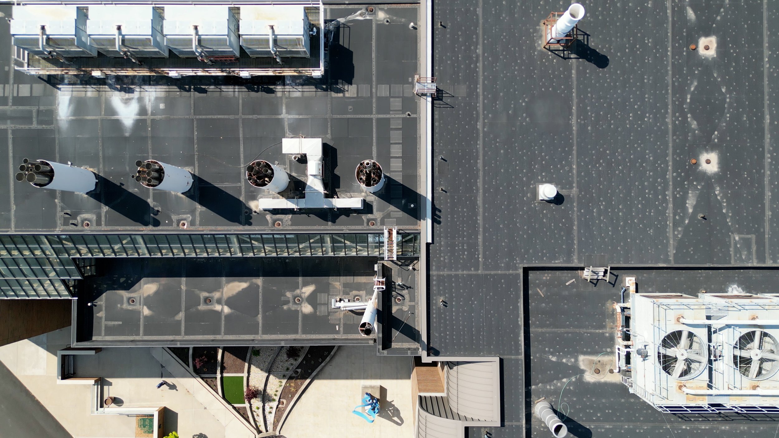
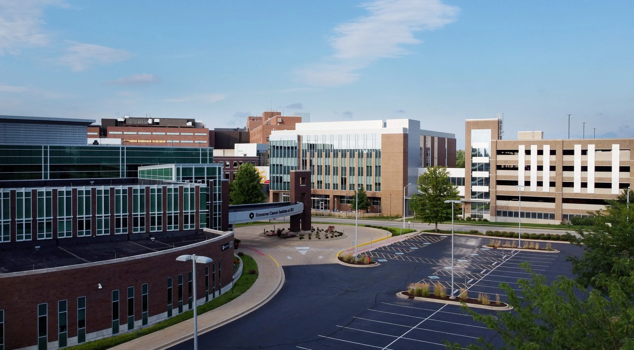
Infrastructure Inspections
Inspect roofs, towers, bridges, and other critical assets safely and efficiently. Our drone inspections deliver high-resolution imagery and detailed data, helping engineers, property managers, and agencies detect issues early, reduce costs, and improve safety.
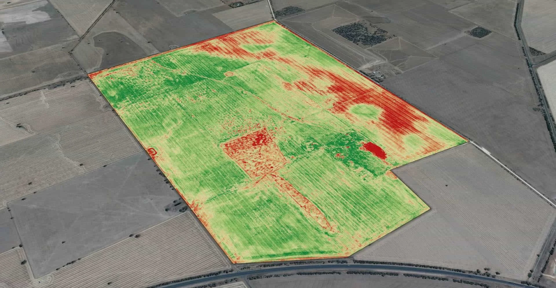
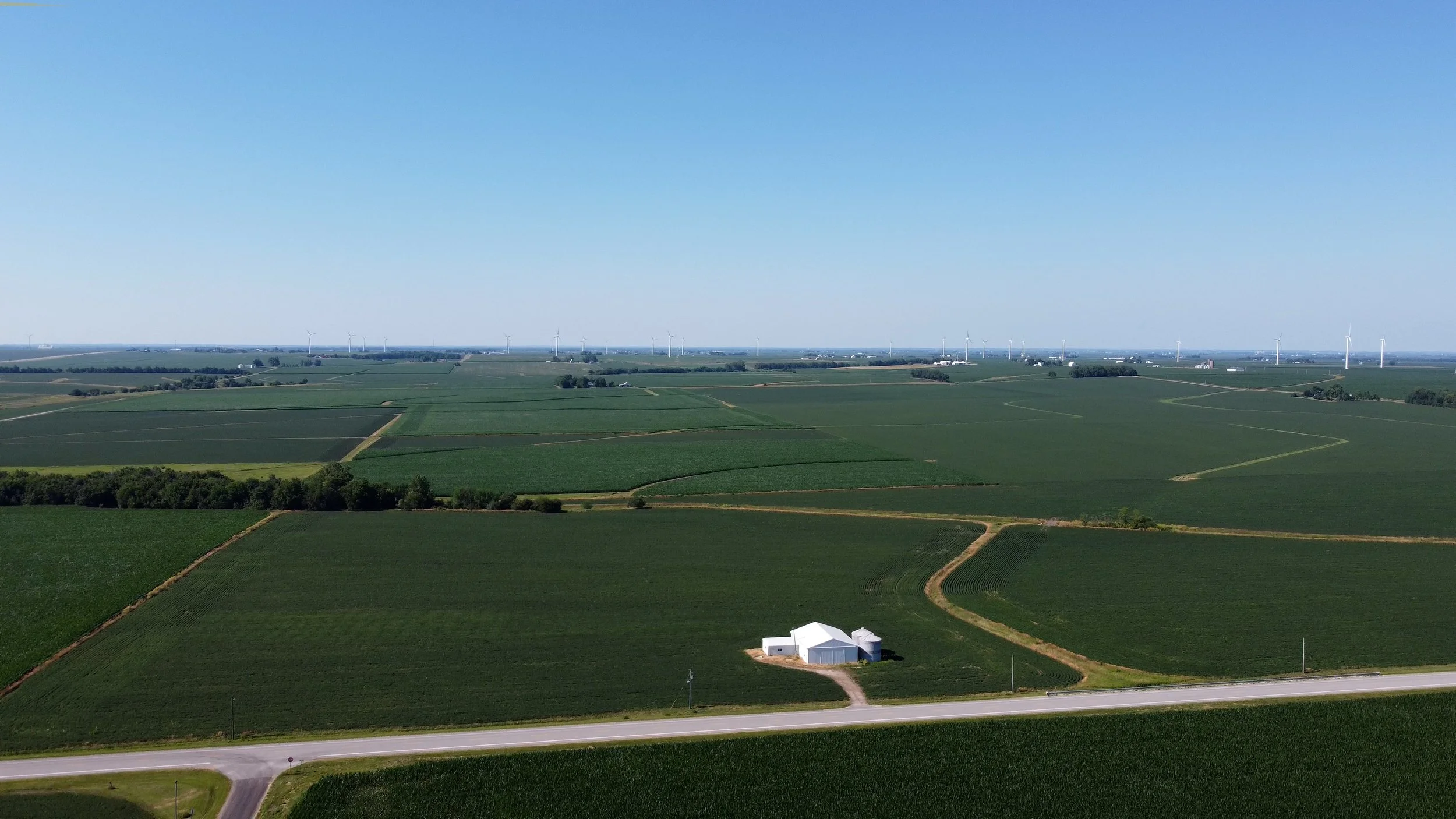
Precision Ag Mapping
Gain a deeper understanding of crop health and field conditions with high-resolution aerial maps. Our drone imaging helps farmers and agronomists monitor plant vigor, identify stress early, and make data-driven decisions to improve yields and optimize inputs.
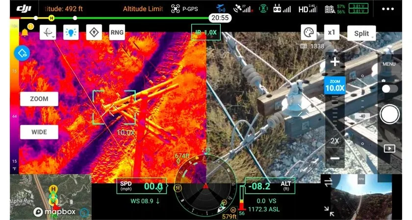
Thermal Imaging & Analysis
Identify hidden problems before they become costly failures. Our thermal drone services detect heat loss, moisture intrusion, electrical hotspots, and other issues invisible to the naked eye, providing clear insights for maintenance planning and asset protection..
Contact Us
Reach out today to discuss your project and see how our drone services can help.